Survey
Our Services
Related Links
About Us
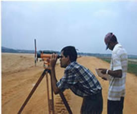
The Survey Division is headed by a Chief Surveyor who has under his responsibility the Survey of State Land, Pas Géométrique, Railway Land, management of State Lands in general, a Cadastre Implementation Unit, a Hydrography Unit. The staff includes Deputy Chief Surveyors, Principal Surveyors, Senior Surveyors, Surveyors and support staff consisting of Survey Technicians, Plans and Records Officer. Also under the Chief Surveyor's responsibility is a Cartography Section headed by a Chief Cartographer and supporting staff.
Its activities are governed mainly by the Land Surveyor's Act, Cadastral Survey Act 2011, the Land Acquisition Act, State Lands Act and the Pas Géométriques Act.
›Importance of the Survey Division
The importance of the Division lies in the fact that land is the basis for all human activity. It is the starting point for all developments in the country. Its role is to provide information on available State Lands that may be disposed of for various types of development, to guide decision makers. The Survey Division thus provides land surveying services to the government. It helps to prevent topographical maps/plans which show natural and man-made features.
The Survey Division Plays an integral role in State Land development from land measurement, land demarcation, land subdivision, setting out of parcel of land and plan preparation. Where State Lands are not available, as is most often the case, the Division helps in identifying privately owned lands for acquisition. Once the go ahead is obtained for the acquisition, the Division takes the front stage in all the legal procedures up to payment of compensation to the owners.